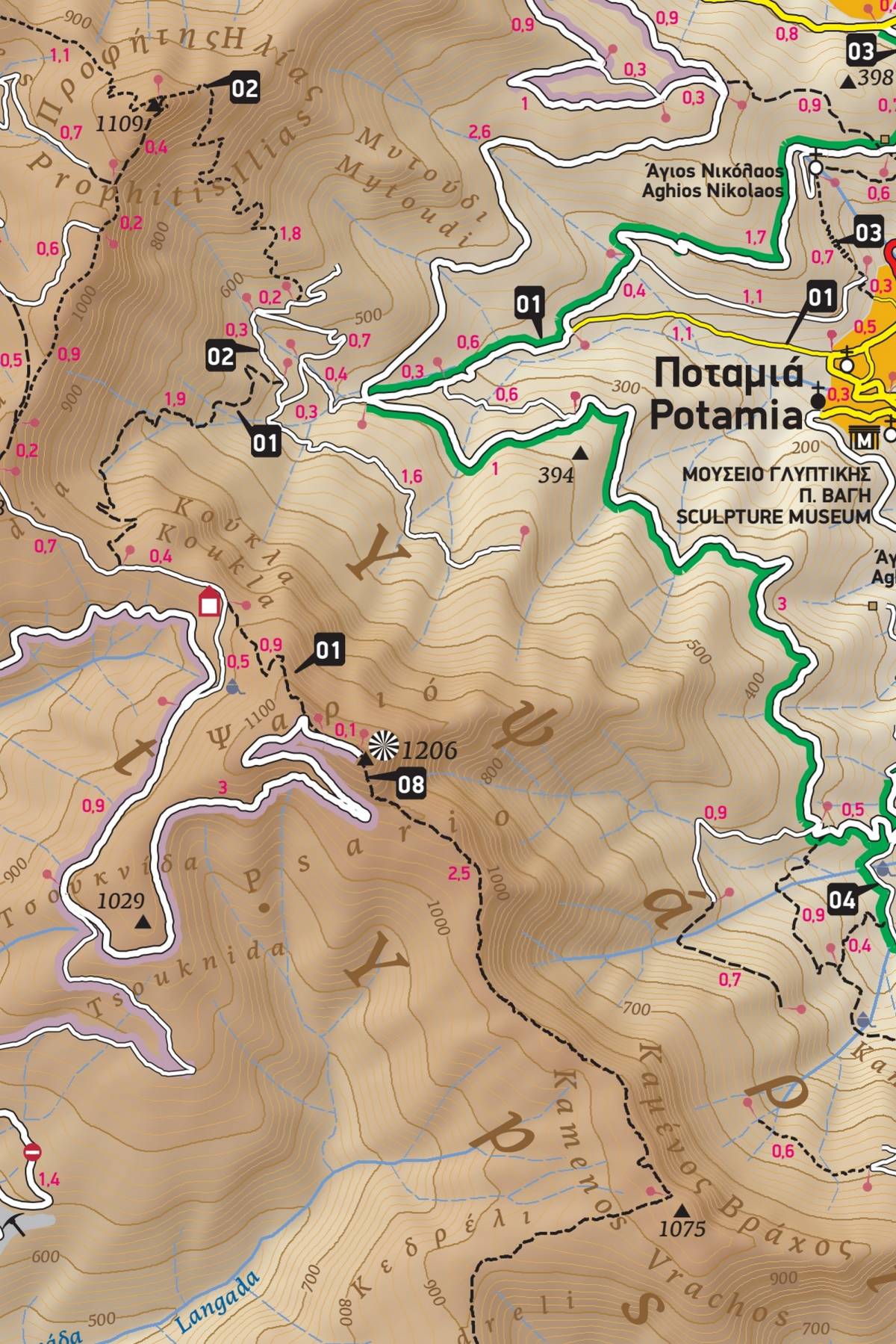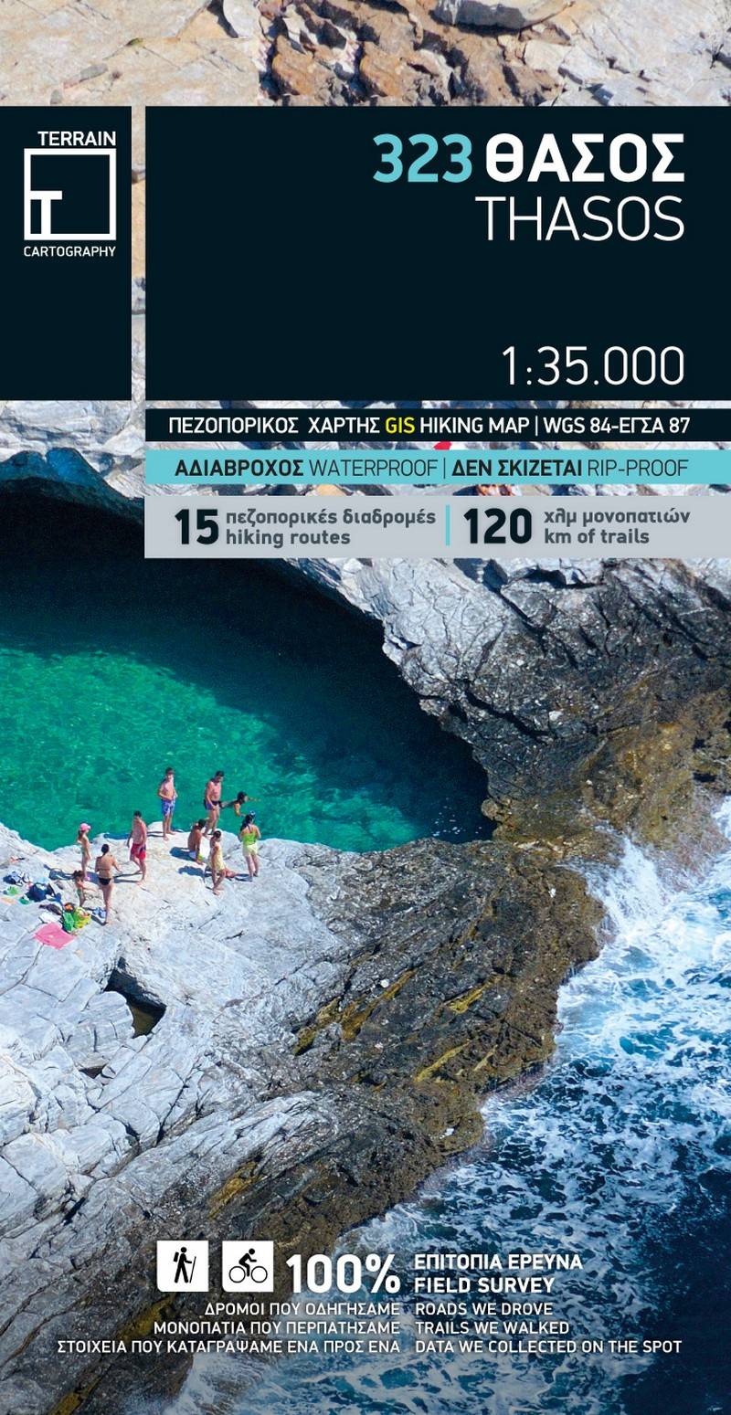
TERRAIN's Thasos hiking and touring map accurately depicts all the island's walking trails, with point-to-point distances. On the reverse side of the map there is detailed information on 15 recommended hiking routes in Thasos, which are marked on the map with their numbers, so as to make it easy to find and follow them.
The entire road network is mapped, and the scenic routes that cross landscapes of particular natural beauty are marked with green shading. The most beautiful mountain bike routes are marked with purple shading. All the beaches are also recorded with the special features of each beach: whether it is pebbly or sandy, whether it has natural shade, whether it is organized with a beach bar, umbrellas or water sports.
The reverse side of the map includes a detailed map of Limenas (the capital of the island) and ancient Thasos, on a scale of 1:5.000, marking hotels, car rental companies, banks, and much other information useful to the visitor.
Sample